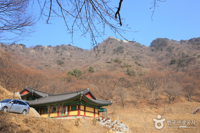
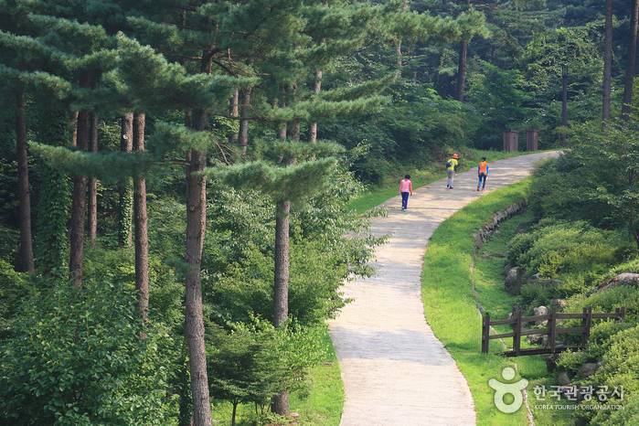
Surisan Mountain, a provincial park of Gyeonggi-do, surrounds Gunpo and is also easily accessible from Anyang and Ansan. Surisan Mountain is said to be named because there is a rock in the shape of an eagle. Another legend says it is named after the nearby Surisa Temple. <br> Surisan Mountain is part of the Gwangju Mountain Range along with Cheonggyesan, Gwanggyosan, Gwanaksan, and Baekunsan mountains. The mountain has four peaks and the highest is Taeulbong Peak (489 m).<br> Grand old trees that range from 100 to 300 years old make for picturesque scenery. The mountain also won first place in the 2002 Beautiful Forest contest hosted by the Korea Forest Service.
- Address
- 347-4, Sokdal-ro, Gunpo-si, Gyeonggi-do
- Website
- www.gunpo.go.kr
- Map
- Naver Map · Google Maps (Naver/Kakao navigate best in Korea)
Source: Korea Tourism Organization official English tourism database. Opening hours and details can change — check the official website before visiting.
![Yangju Olleung Royal Tomb [UNESCO World Heritage]](http://tong.visitkorea.or.kr/cms/resource/10/757410_image2_1.jpg)