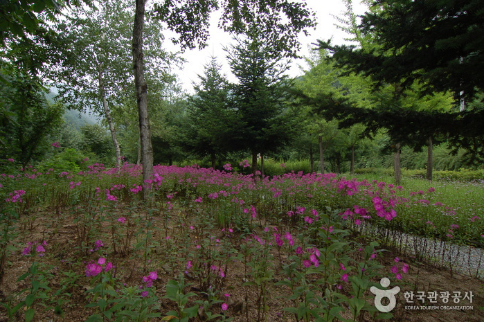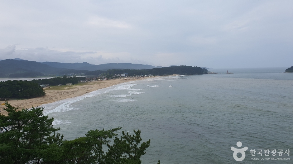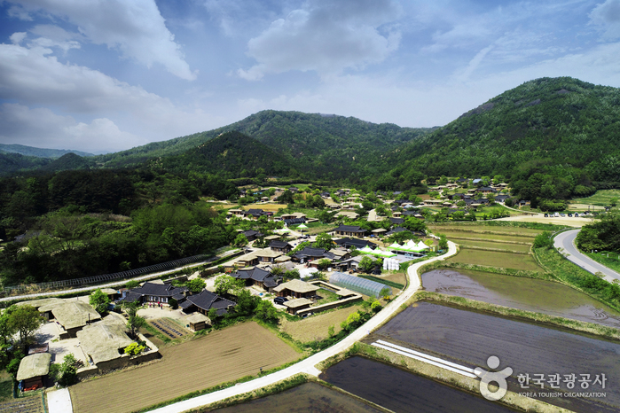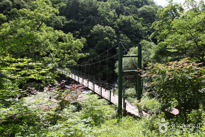
Gongjaksan Mountain, spreading out from the peak with an altitude of 887.4 meters, resembles the outstretched wings of a peacock (gongjak in Korean). Looking out from the top of the mountain, the entirety of Hongcheon County can be seen, as well as beautifully shaped cliffs spread throughout. <br><br> Sutagyegok Valley is very picturesque with wonderful rock outcrops and surroundings. This 8 kilometer-long valley links Sutasa Temple, which is about 6 kilometers lower than the peak, to Nocheon-ri. <br><br> Something for nearly every season with royal azalea flowers in spring, old pine trees and colorful foliage in fall, and snow-covered trees in winter, Gongjaksan Mountain's beauty catches the attention of hikers year-round.
- Address
- Hwachon-myeon, Hongcheon-gun, Gangwon-do
- Website
- www.great.go.kr (Korean, English, Japanese, Chinese)
- Map
- Naver Map · Google Maps (Naver/Kakao navigate best in Korea)
Source: Korea Tourism Organization official English tourism database. Opening hours and details can change — check the official website before visiting.